

Settlement Studies - Baiyora
- Saanvi Kulkarni
- Feb 10
- 3 min read
Updated: Feb 11
Faculty Co-ordinator : Vastavikta Bhagat, Milind Mahale, Prasad Shetty, Apurva Talpade
Saanvi Kulkarni
This module is meant to be a form of understanding space through field visits to specific places, aimed at inculcating a sense of intuition regarding large-scale settlements. Field visits took place between the 17th and the 21st of January in Baiyora, a village near Dungarpur. The residents identify themselves as Adivasis, and follow an ancient tribal religion native to their land. Over four days on site, we familiarized ourselves with the terrain, landscape, and lifestyle of residents in the area.

The Adivasi community are known as the earliest settlers of the region, with nature worship forming the core of their belief system. Bhedmata is revered as their primary goddess, symbolizing a deep spiritual connection with nature. Cultural practices are closely tied to daily life and livestock; for example, during Diwali, the horns of goats are painted as part of ritual celebrations.
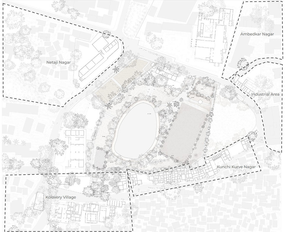
The initial days involved large-scale mapping, such as an overall site plan and elevation diagrams. Simultaneously, groups were made to discern specific cultural traditions, oral histories, and significant historical features of the area. Housing was another notable challenge, using various techniques of measurement to create an accurate reproduction of the exact dimensions. The exercise progressed into bigger drawings, with teams dedicated to elements such as foliage and material usage.

Our group began by attempting to create an initial draft of our site, which was especially important because of the large variations in our terrain. We spent the first few hours evaluating how to measure the specified area, particularly the ones inaccessible because of their elevation. We assigned specific members of our group to housing, where they were also responsible for collecting stories, folklore, and local legends from the area.

Over the next couple of days, we faced some setbacks with regard to mapping the sections, but found workarounds by redeveloping our system of measurement. Finally, we worked on the presentation of our map, attempting to add as much detail as possible while also maintaining the overall accuracy of the site. We used resources such as Google Earth to cross-check and verify our changes, but also placed an emphasis on maintaining the integrity of our observations.
Over the course of the module, we worked both in and out of site to map the exact features and terrain we had been studying. The process involved several iterations to both the mapping and housing, particularly when it came to constructing accurate views and adding detail to the plan.

The process continued after getting back to college, where we began to work on a large drawing as a class. This map used an axonometric view, inspired by Mughal miniature paintings, to construct a comprehensive and detailed understanding of the site.
Overall, the experience helped us develop a more technical sense of observing and reproducing specific details of a given geographic space. More than that, we gained insights into a cultural system we had been previously unfamiliar with, such as their agricultural techniques, farming practices, and recent developments in organic cultivation. Their form of worship revealed details about unique approaches to faith, which differed greatly from the common perception of ‘religion’. We were able to locate ourselves, our environment, and relevant cultural details; a process that helped enrich our way of ‘seeing’ and perceiving our surroundings.


Comments